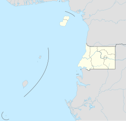
Luba, Equatorial Guinea
Luba | |
|---|---|
 Luba, 2013 | |
| Coordinates: 3°27′N 8°33′E / 3.450°N 8.550°E | |
| Country | |
| Province | Bioko Sur |
| Elevation | 181 m (594 ft) |
| Population (2012) | |
| • City | 7,739 |
| • Metro | 24,000 |
| Climate | Am |
Luba (formerly San Carlos) (pop. 7,000) is the second-largest town on Bioko in Equatorial Guinea, a port for the logging industry on the island's west coast beneath volcanic peaks. Attractions in Luba include several beaches and a colonial hospital.
The city may be reached either by sea or by a main road linking Luba to the country's capital, Malabo. The road is now[clarification needed] accessible; it takes about an hour to drive from Malabo to Luba. In 1999, a free port opened near the town, creating deepwater access for larger and oil industry vessels, an alternative to the congested port of Malabo for re-supplying on fuel, water and other materials.[1] As of 2010 a new highway was under construction from Luba via Belebú Balachá through the Luba Crater Scientific Reserve to Ureca near the south coast.[2]
References
[edit]- ^ "Welcome to Luba Freeport Ltd". Luba Freeport Ltd. Retrieved 2012-03-26.
- ^ Cronin, Drew (September 2010). "OPPORTUNITIES LOST: THE RAPIDLY DETERIORATING CONSERVATION STATUS OF THE MONKEYS ON BIOKO ISLAND, EQUATORIAL GUINEA (2010)" (PDF). Universidad Nacional de Guinea Ecuatorial, Drexel University. p. 7. Archived from the original (PDF) on 2012-03-14. Retrieved 2012-03-25.


